
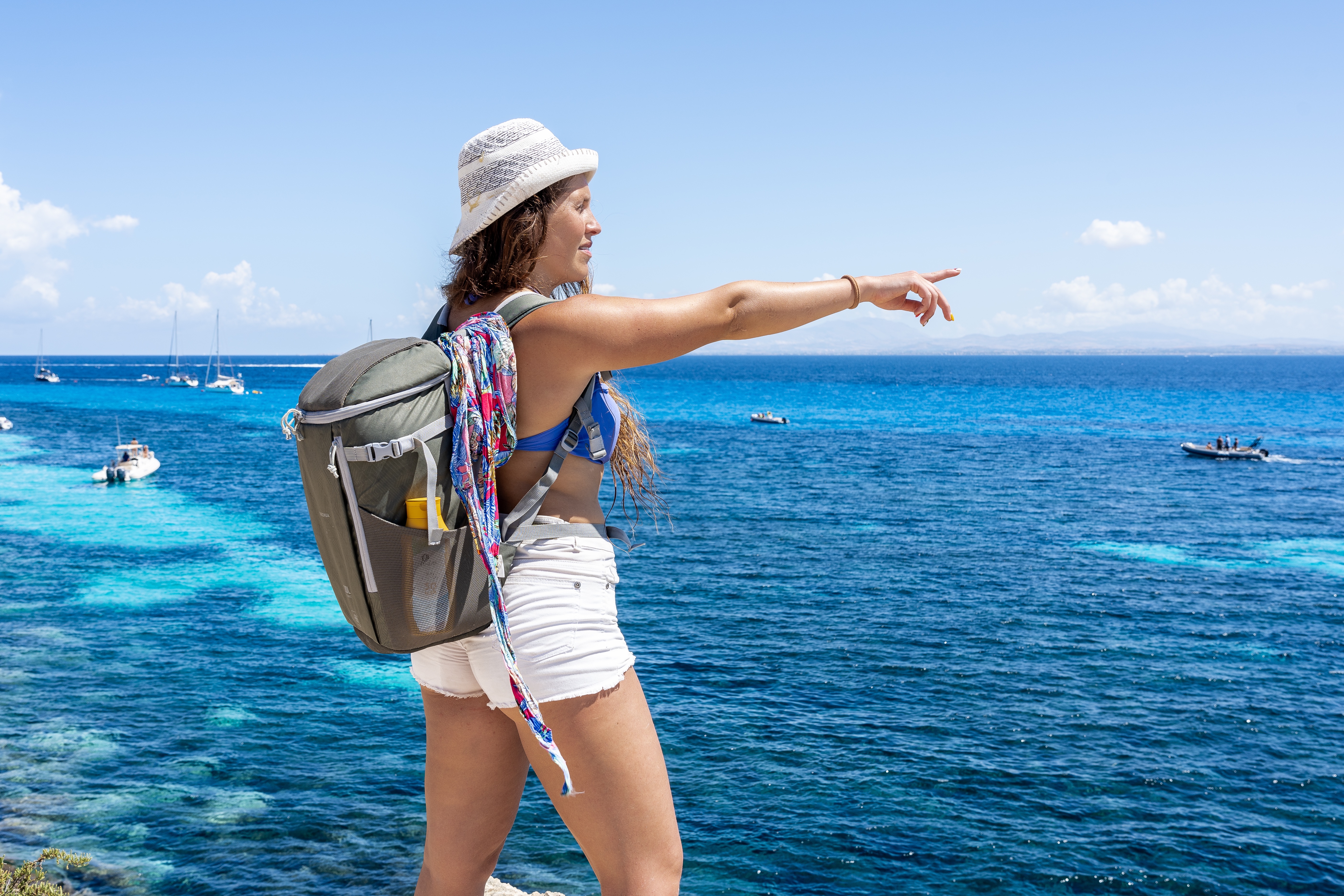
EXPLORE FAVIGNANA
Map of Favignana
Explore the island through its places, from coves and landscapes to nature and history.
17 places on the map
List
Places on the map
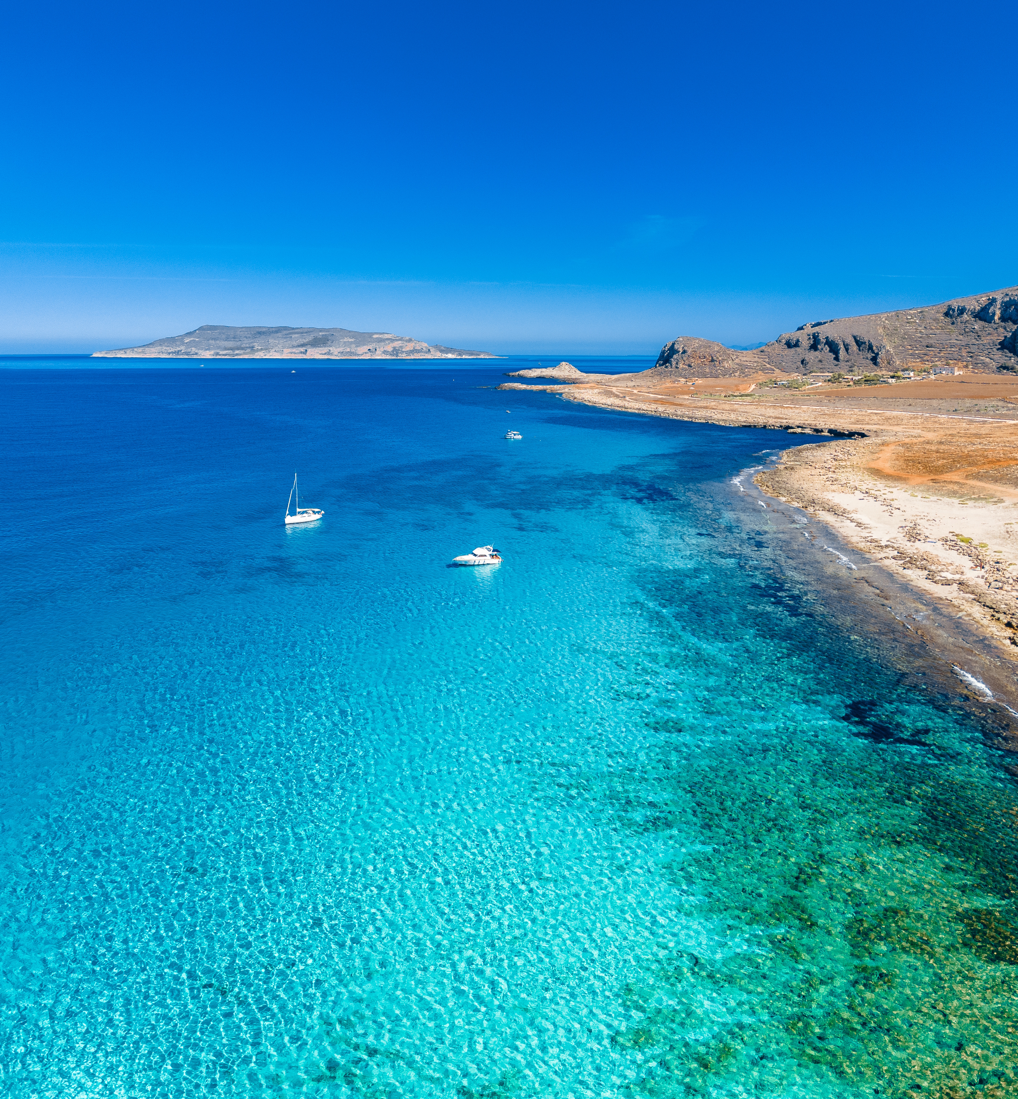
Cove
Cala del Pozzo
A small rocky inlet on Favignana's north-west coast: quiet, without facilities and with very clear water.
Open the page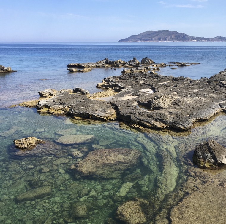
Cove
Cala Graziosa
A small rocky cove on Favignana's eastern side: quiet, without facilities and best suited to confident swimmers.
Open the page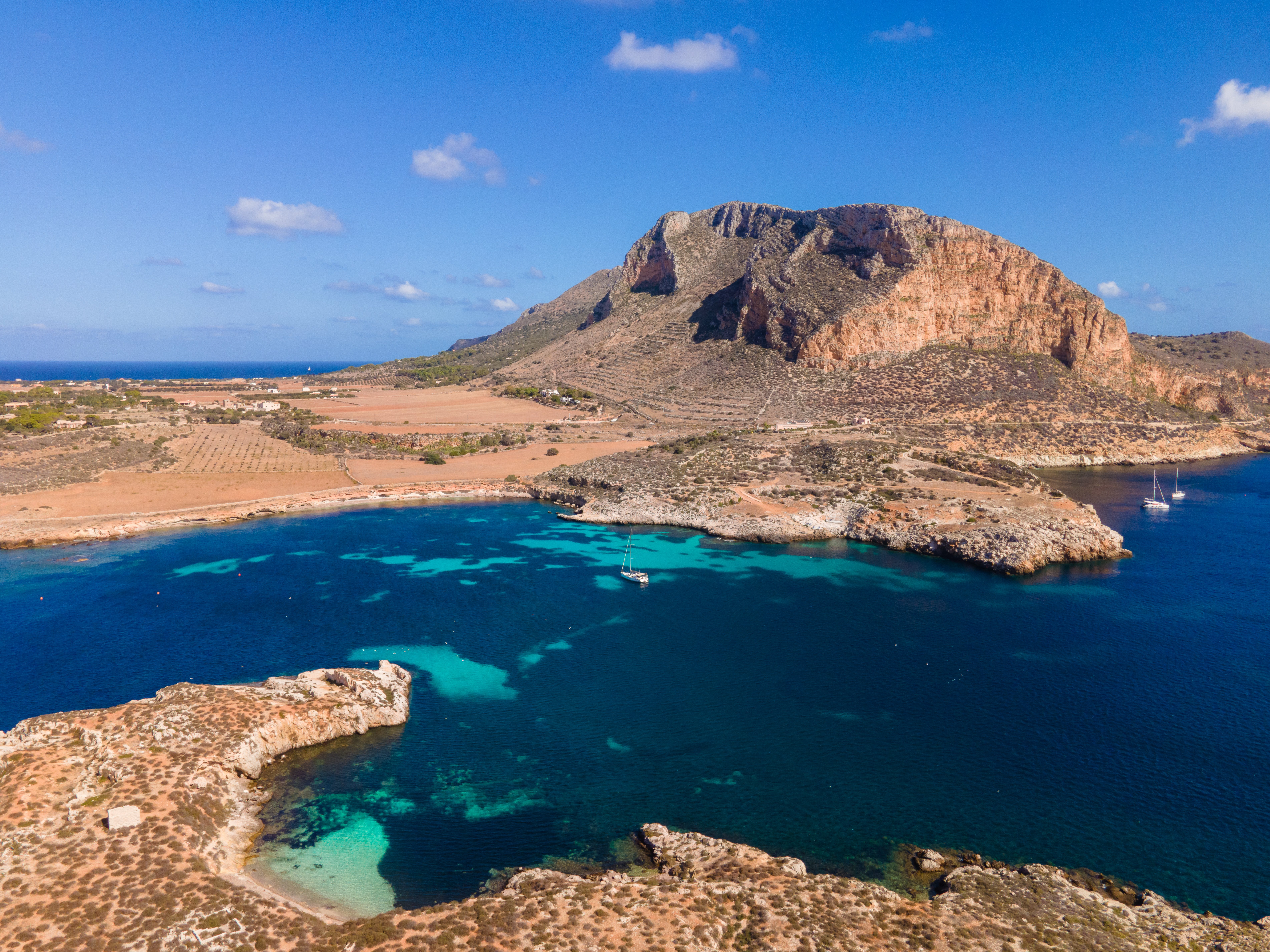
Cove
Cala Preveto
Piccola insenatura della costa di Favignana, senza servizi e poco frequentata.
Open the page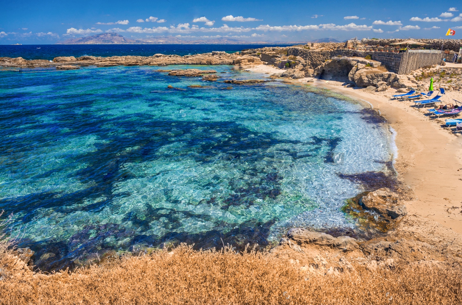
Cove
Cala San Nicola
Piccola insenatura della costa di Favignana, senza servizi e poco frequentata.
Open the page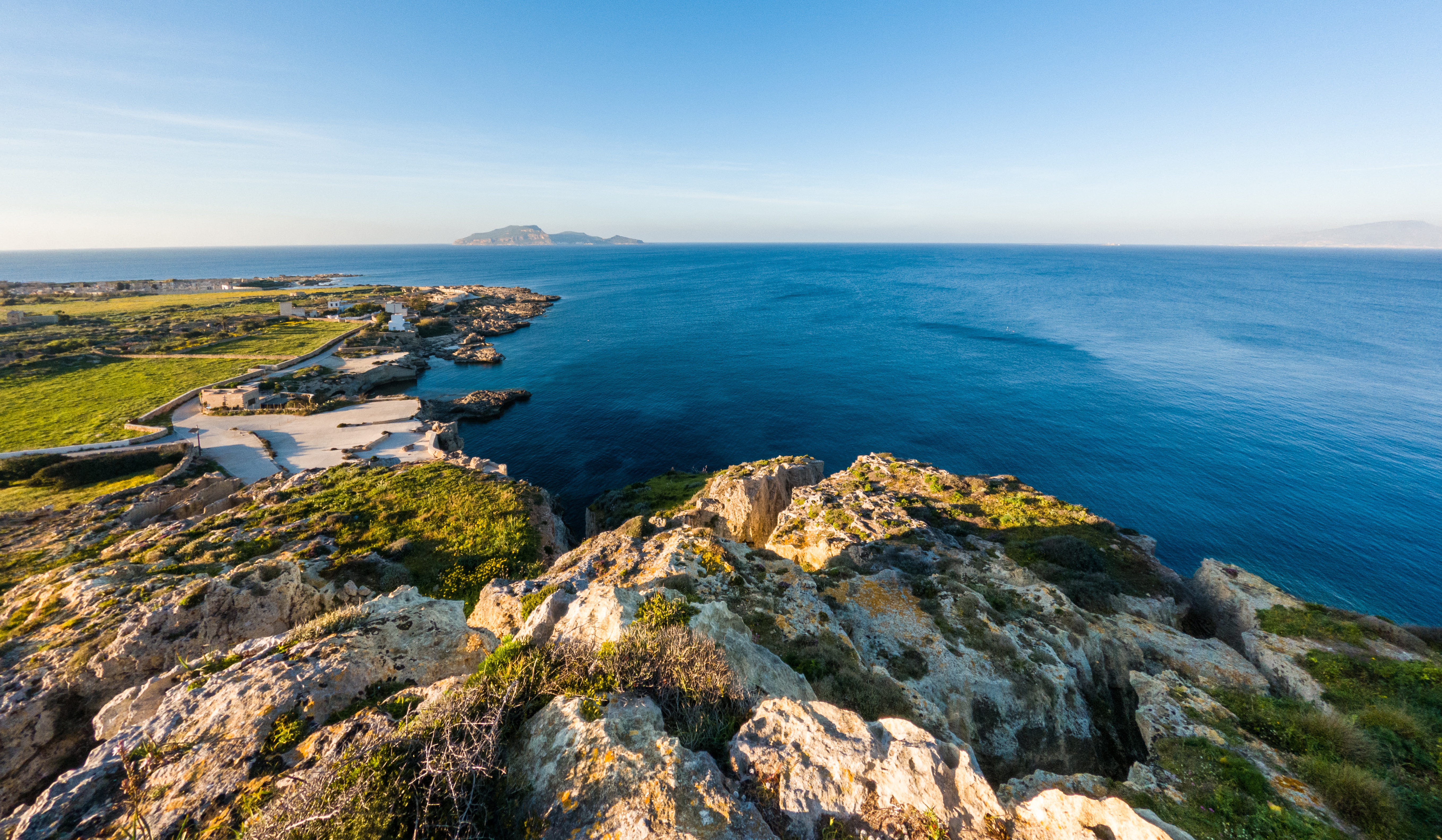
Cove
Scalo Cavallo
A former small landing on Favignana's east coast, today a secluded rocky stretch with no facilities.
Open the page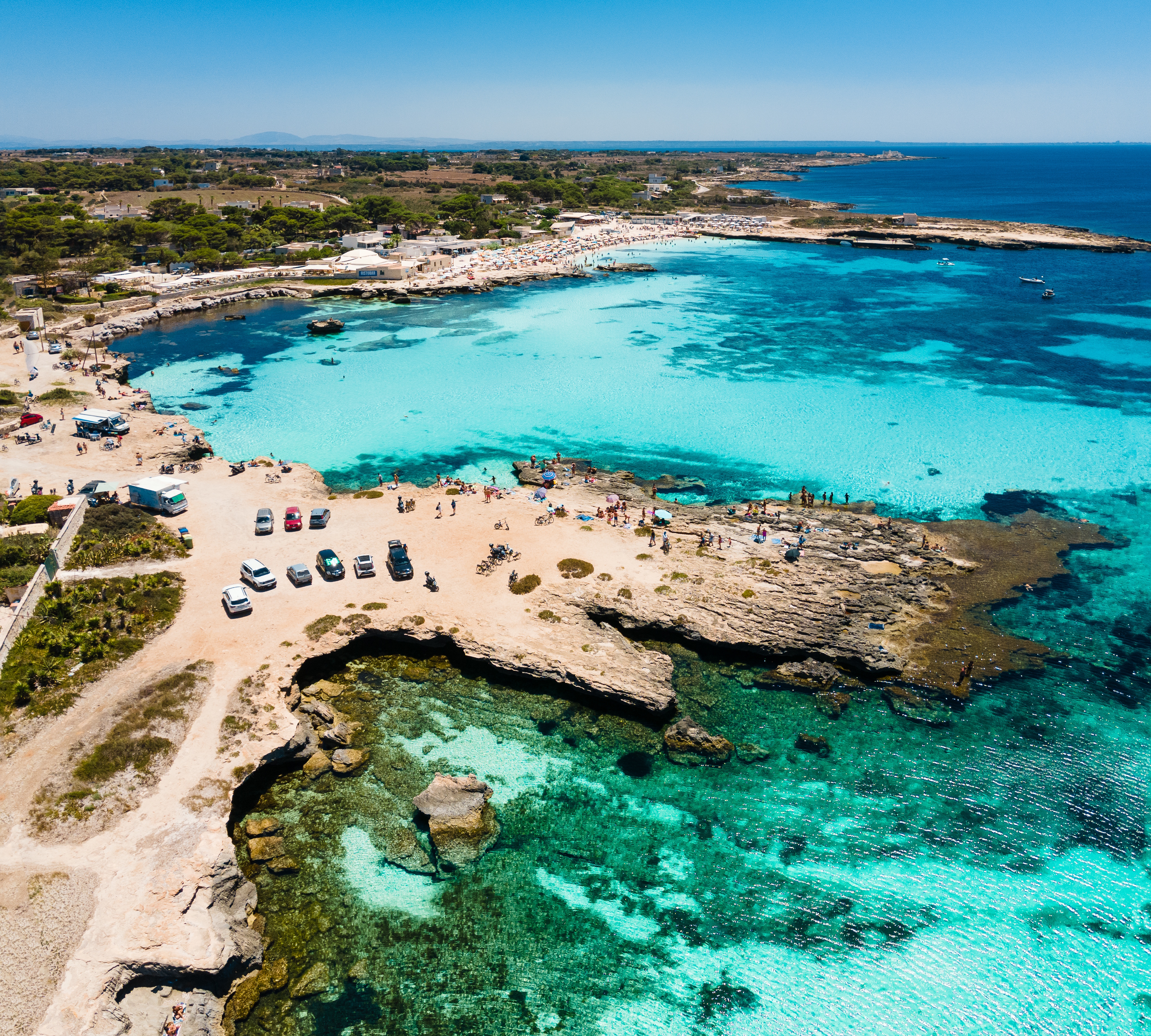
Cove
Scivolo
A rocky spot on Favignana where a sloping slab runs into the sea: no facilities, best for confident swimmers.
Open the page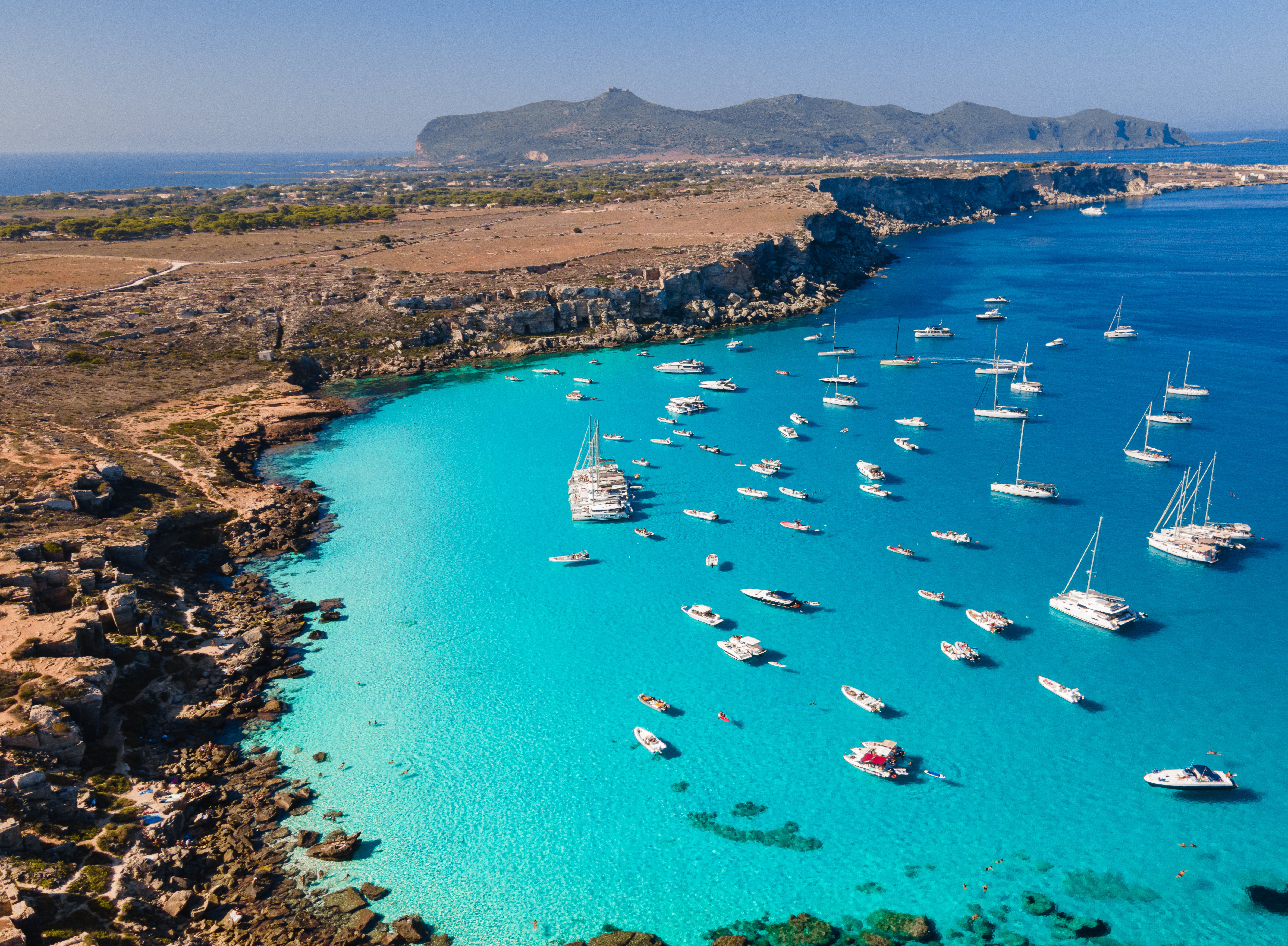
Cove
Cala Rossa
Favignana's most famous tuff amphitheatre, where the water shifts from green to deep blue and snorkelling is spectacular.
Open the page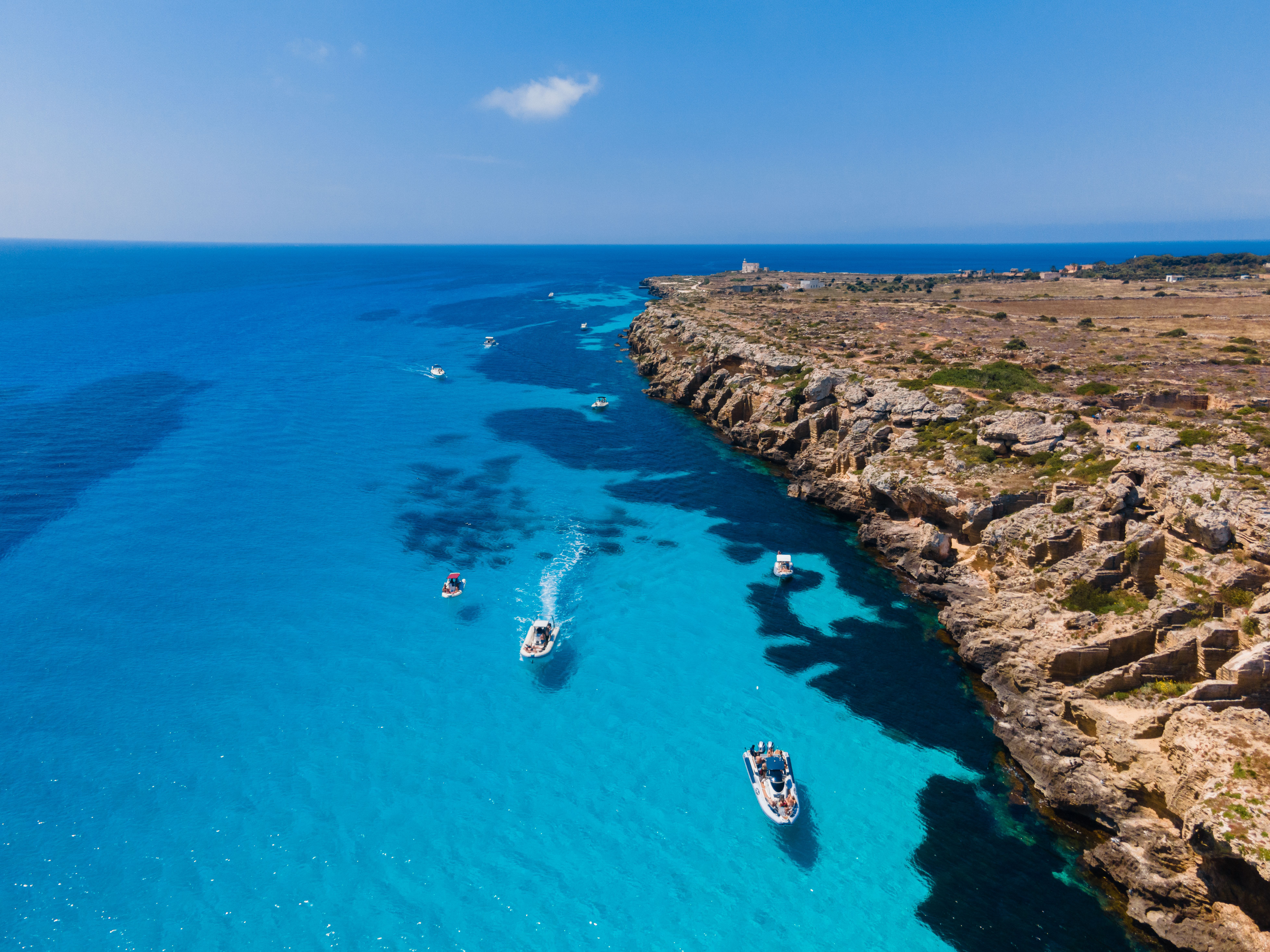
Cove
Bue Marino
Carved tuff platforms on Favignana's north coast, with deep water a few metres from shore and rewarding snorkelling.
Open the page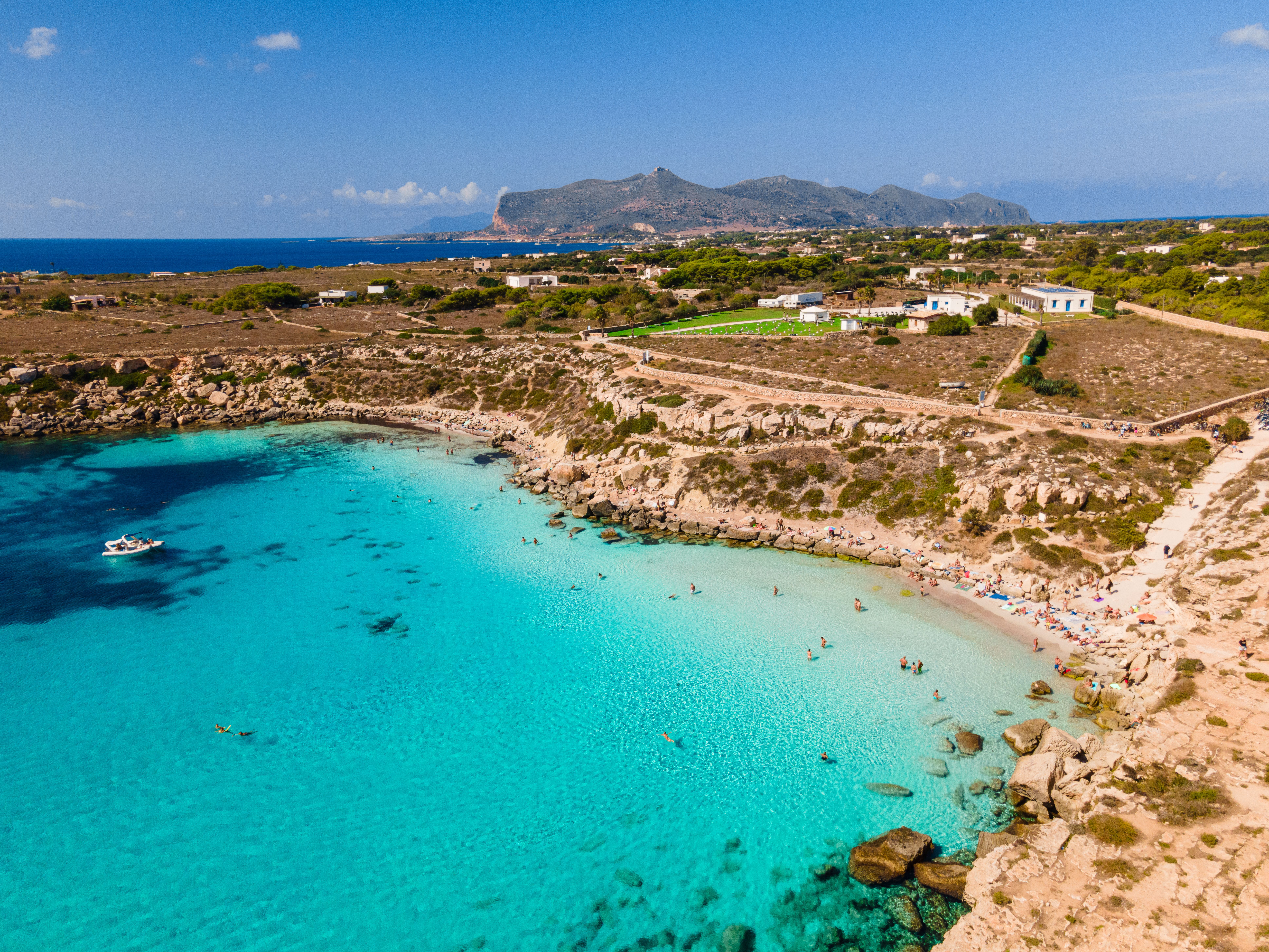
Cove
Cala Azzurra
A turquoise inlet on Favignana's south-east coast, with a gradual entry into the water and a family-friendly feel.
Open the page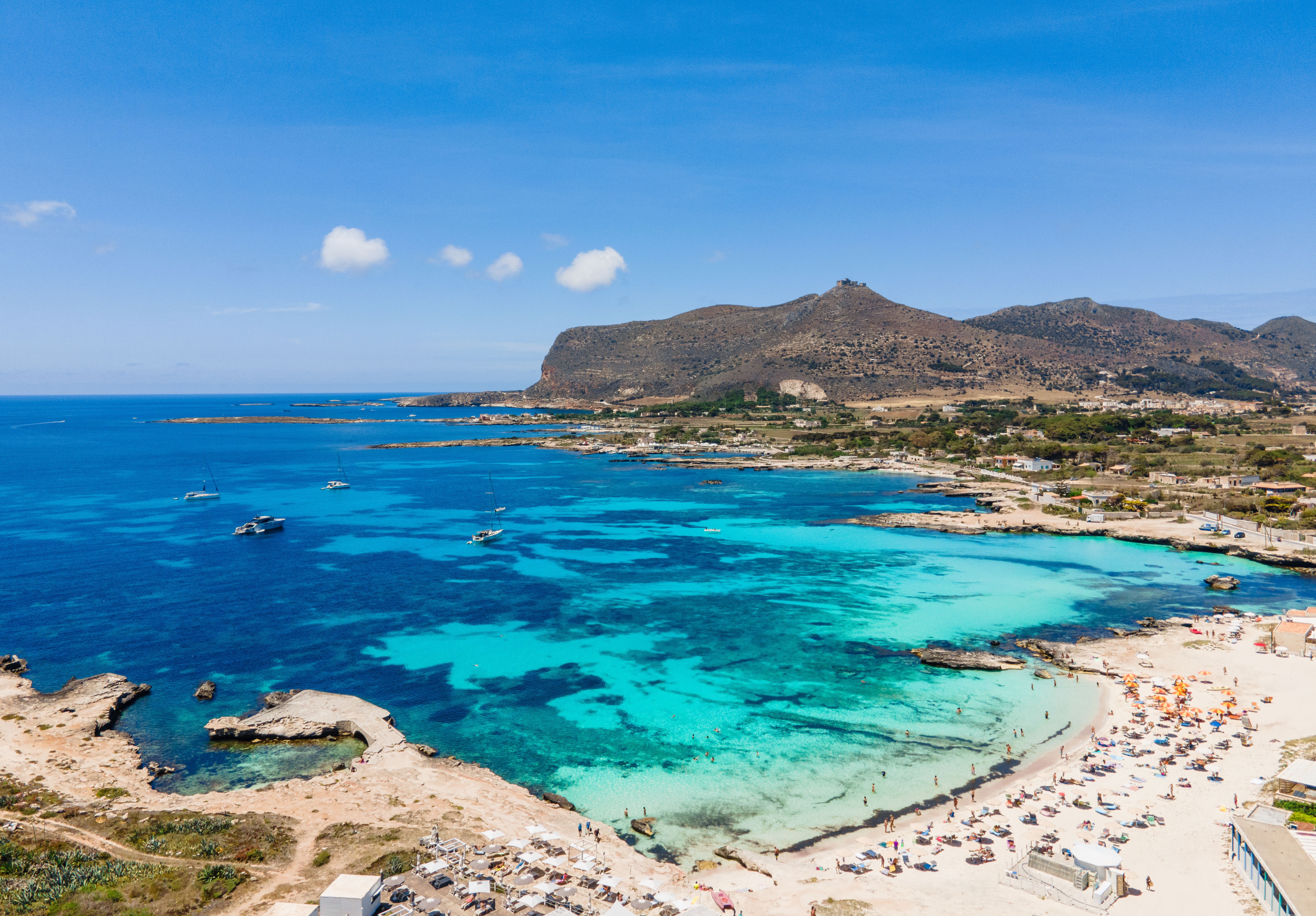
Beach
Lido Burrone
Favignana's best-known sandy beach, on the south coast, with shallow water and an easy, family-friendly entry.
Open the page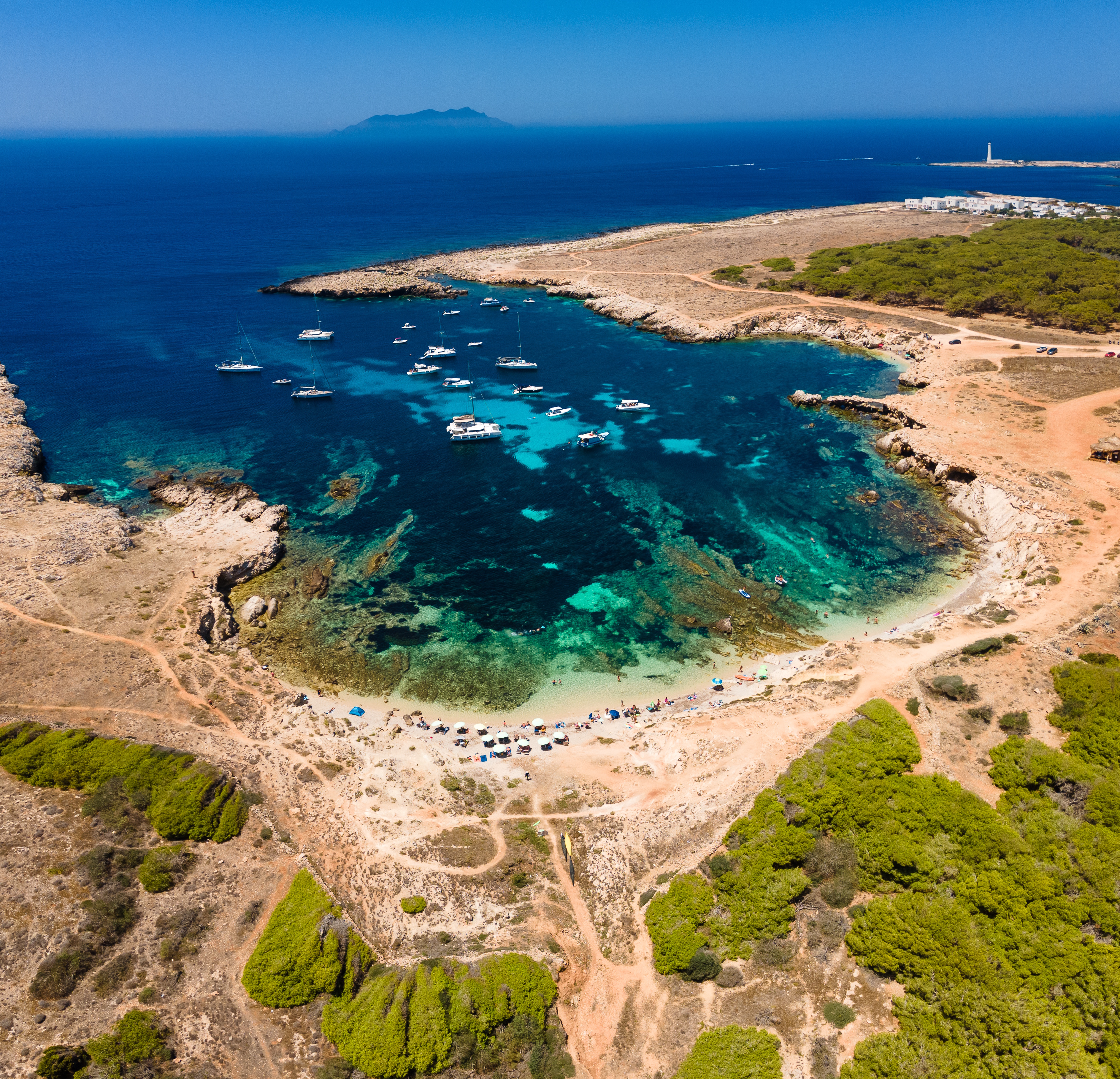
Cove
Cala Rotonda
A wide inlet on Favignana's west coast, with a natural arch, an Odyssean legend and superb late-afternoon light.
Open the page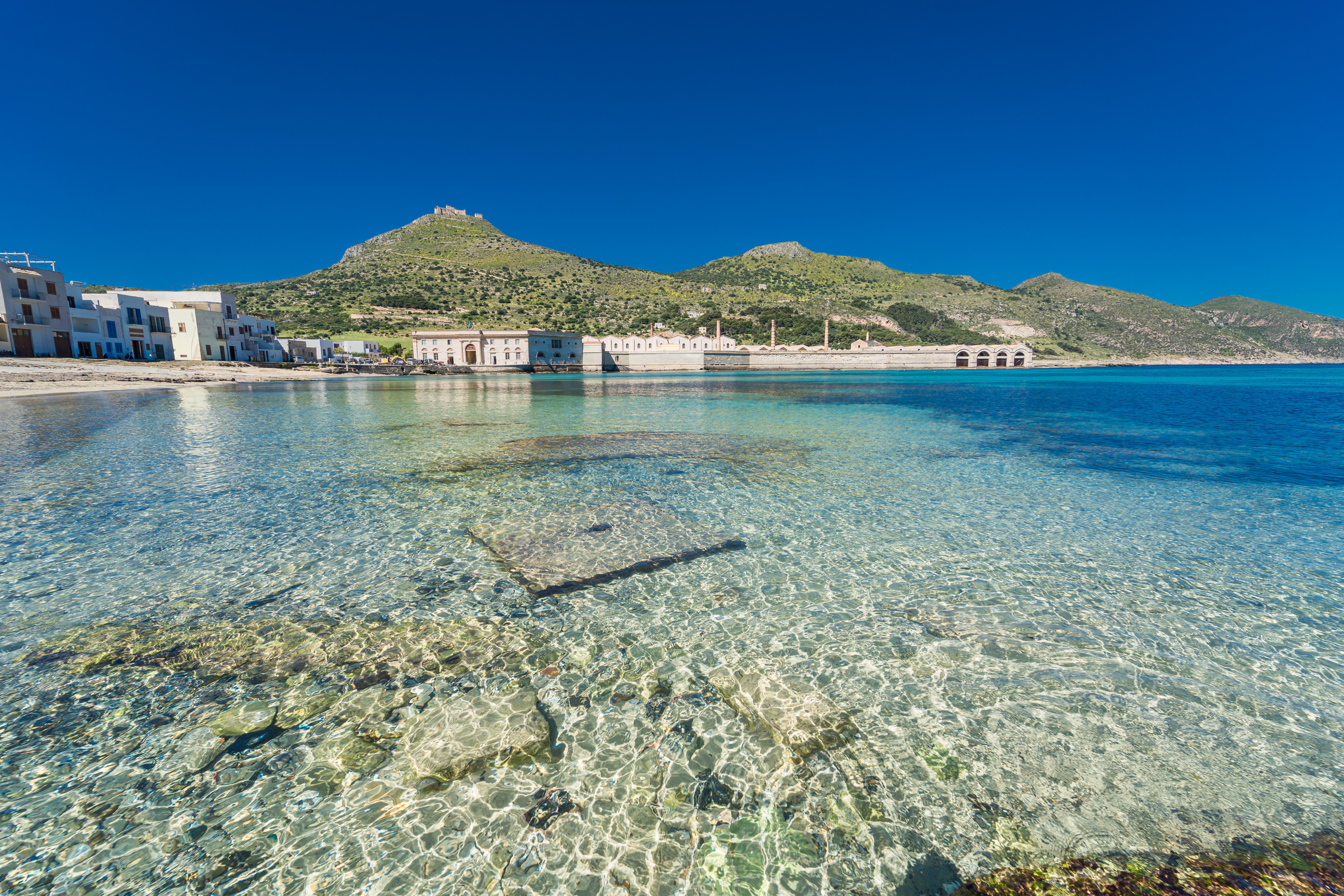
Beach
Praia
The town beach, steps from Favignana's harbour: convenient, walkable and ideal for a quick swim.
Open the page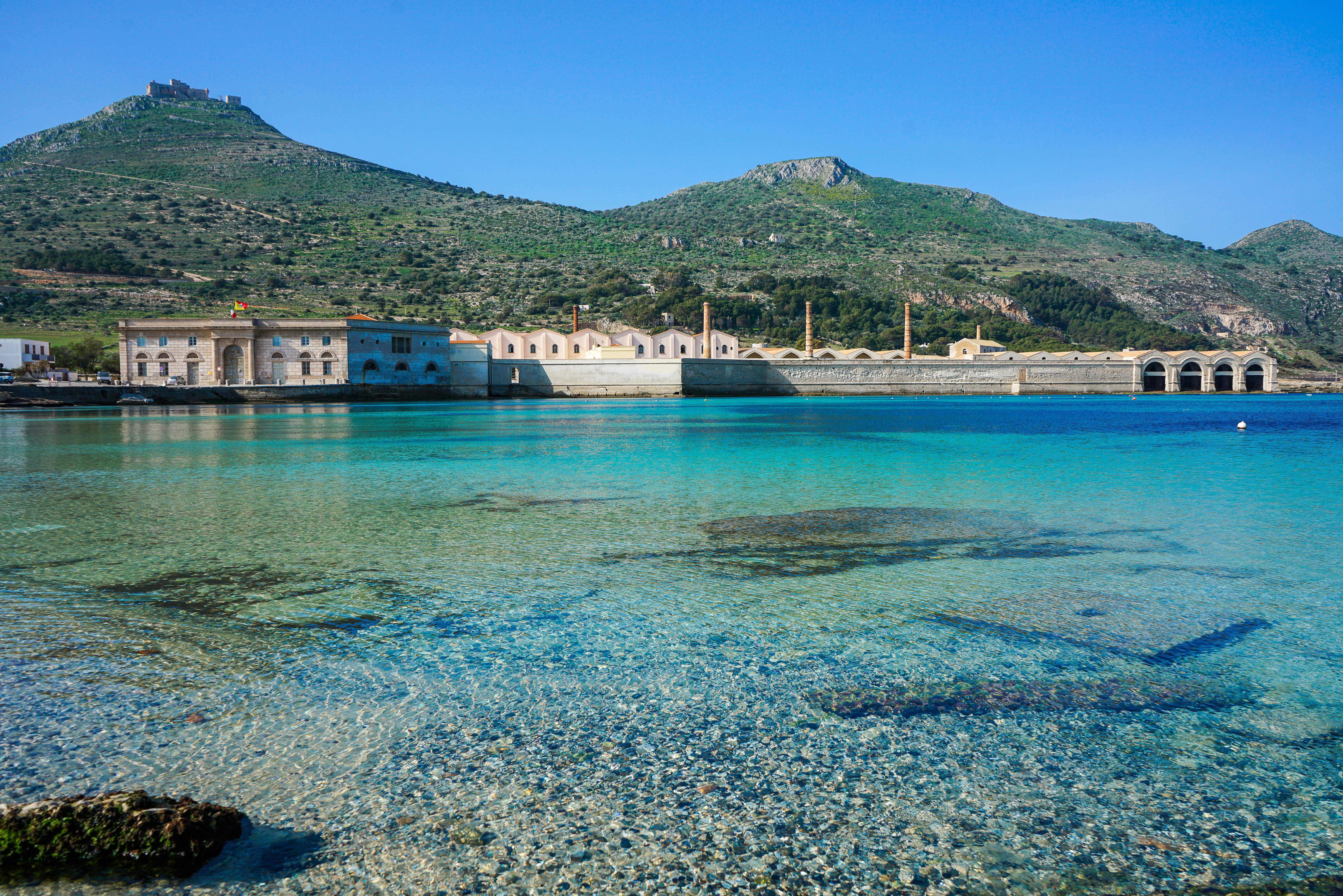
Tuna factory
Florio Tuna Factory (Ex Stabilimento Florio)
The old Florio tuna factory on the harbour front: the industrial complex that shaped Favignana's economy and social life.
Open the page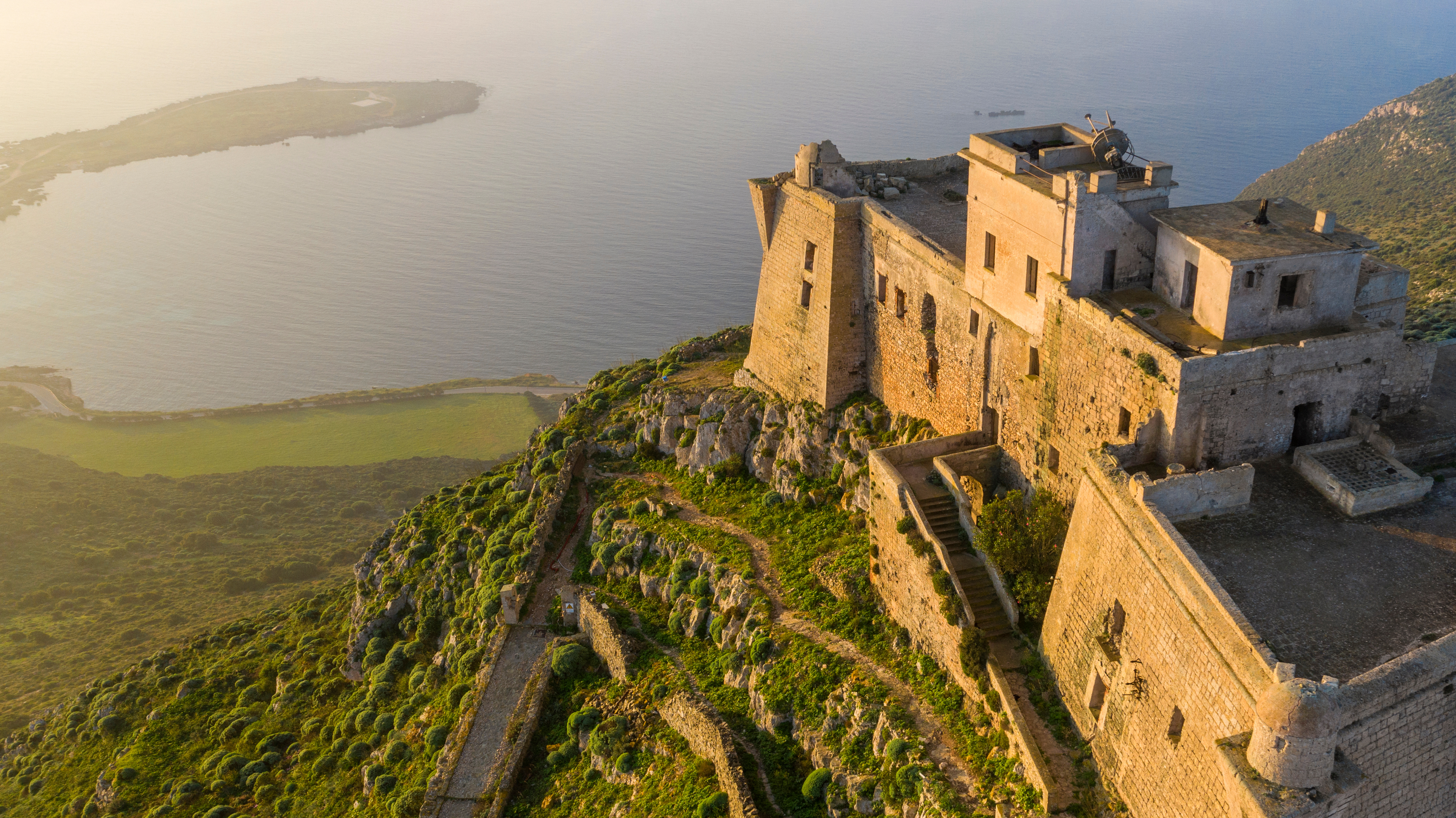
Historic site
Santa Caterina Castle
The fortress crowning Monte Santa Caterina, with the widest view over Favignana and the archipelago.
Open the page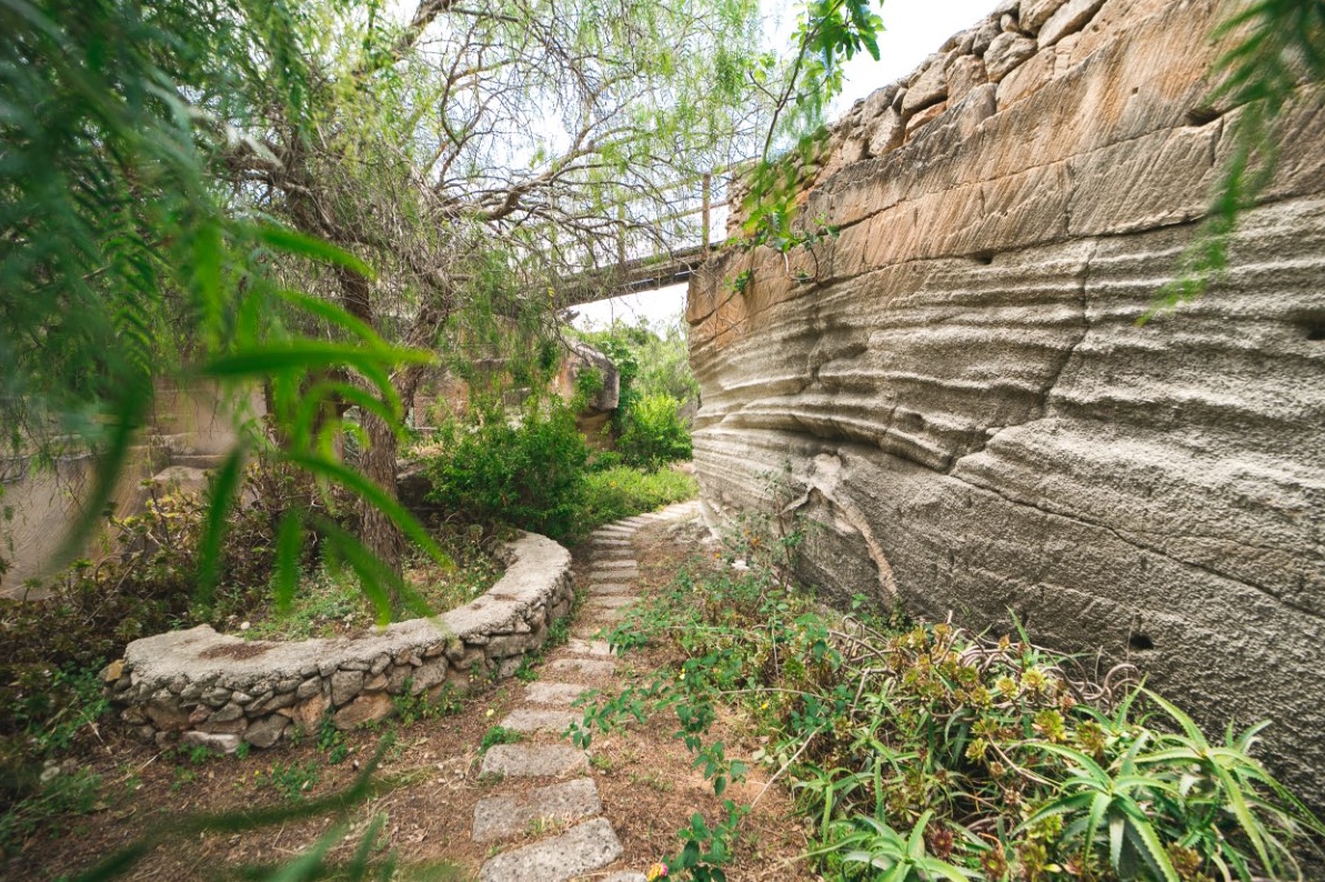
Nature
The Impossible Garden
A botanical park set inside Favignana's former calcarenite quarries, with almost 500 plant species and much of the route below street level.
Open the page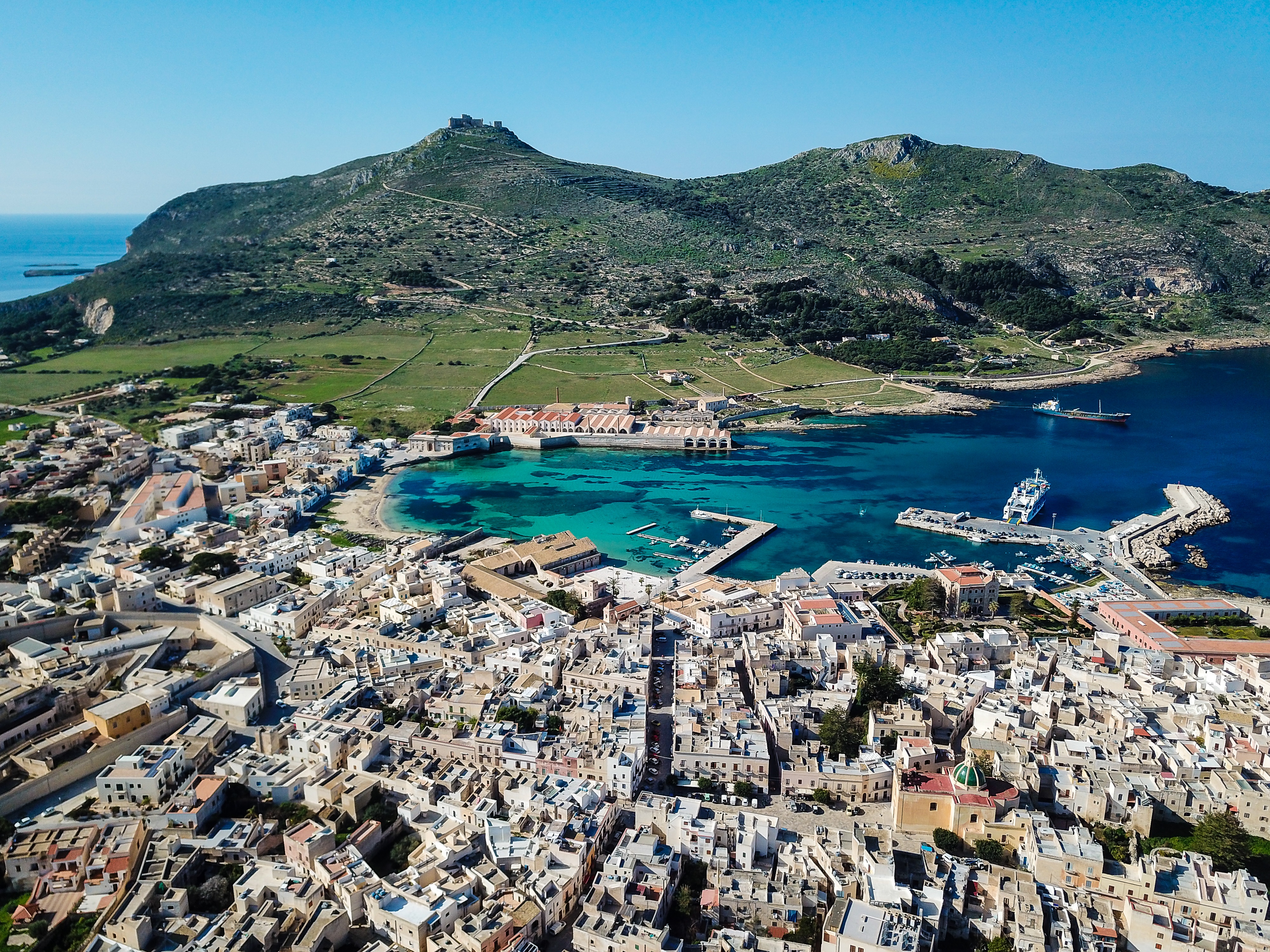
Point of interest
Old town and Piazza Madrice
The heart of Favignana village, between the mother church, the tuff streets and the square where island life gathers.
Open the page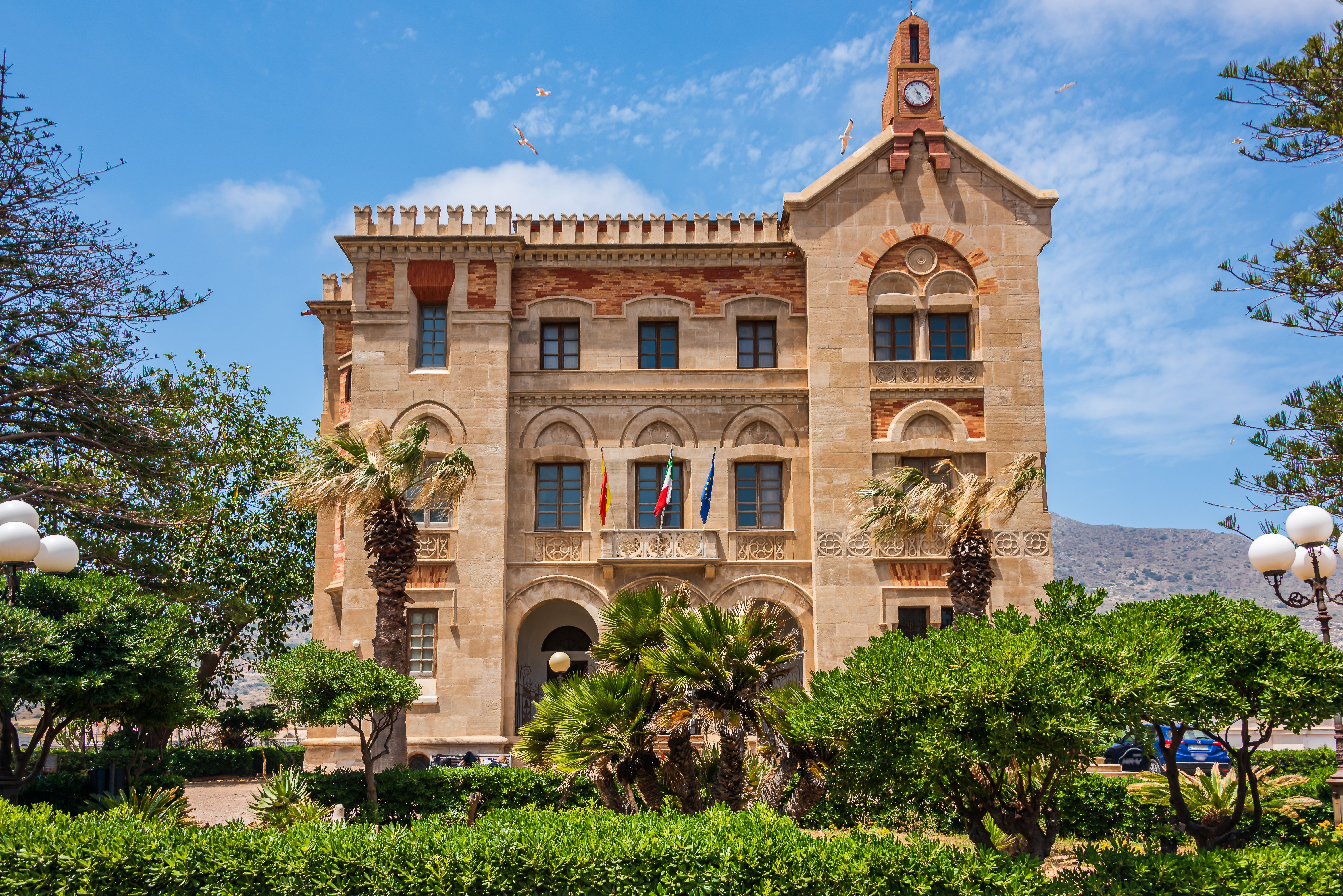
Historic site
Palazzo Florio
The residence built for Ignazio Florio near the harbour, a symbol of the island's industrial tuna era.
Open the page
How to use the map
Every point on the map is a place published in the guide. Tap a point to see its name, category and photo when available, and to open the full page. The filters only list categories that contain at least one place, and they update the map points and the list together. Search works on names and categories, and “Show all places” brings the map back to the overall view.
Exploring Favignana
Favignana is the largest of the Egadi Islands, off the western coast of Sicily. The map shows where each place sits in relation to the rest of the island: coves and beaches along the coastline, historic sites and points of interest around the inhabited area, nature and landscape inland. Only places with a reliable position appear on the map.
The island's places
The map is a starting point: every place has its own page with a description, its category and the information we have verified. The places index lists them all, including the ones you would rather come back to later.
Go to the places indexGoing further: Smart Cala
Smart Cala is a separate tool that helps you choose a cove according to current conditions. It is not part of the places map.
Discover Smart Cala